Professional Drone & LiDAR Services Supporting Raleigh's Tech-Driven Development
Precision Aerial Data for the Research Triangle's Growth
Looking for drone services or LiDAR mapping in Raleigh? Back Forty Aerial Solutions delivers high-accuracy aerial data capture for engineering, construction, and land development projects throughout the Research Triangle region. As one of America's fastest-growing tech corridors, Raleigh demands precision data solutions that keep pace with the development activity transforming Wake County and surrounding areas.
The Research Triangle Park represents over seven thousand acres of innovation where major technology firms continue to invest in new facilities and infrastructure expansion. Our LiDAR mapping and aerial documentation services support the surveyors, engineers, and construction managers working on everything from corporate campus builds to transportation upgrades connecting the region's growing communities. Whether your project involves site planning near NC State's expanding research facilities or construction monitoring along the I-540 corridor, we provide the detailed spatial data that engineering decisions require.
Raleigh's growth adds dozens of new residents daily, and development teams need reliable data partners who understand the stakes. Call Back Forty Aerial Solutions at (803) 727-5551 to discuss how our aerial mapping and inspection services can support your next Raleigh project.
Why Raleigh Teams Choose Back Forty Aerial Solutions
The Research Triangle's competitive development environment leaves little room for data gaps or schedule delays. Back Forty Aerial Solutions combines FAA-compliant drone operations with specialized processing expertise to deliver actionable outputs on timelines that match Raleigh's fast-moving project schedules. Our team has supported land developers, civil engineers, and general contractors across the Southeast, bringing that experience to every engagement in the Triangle.
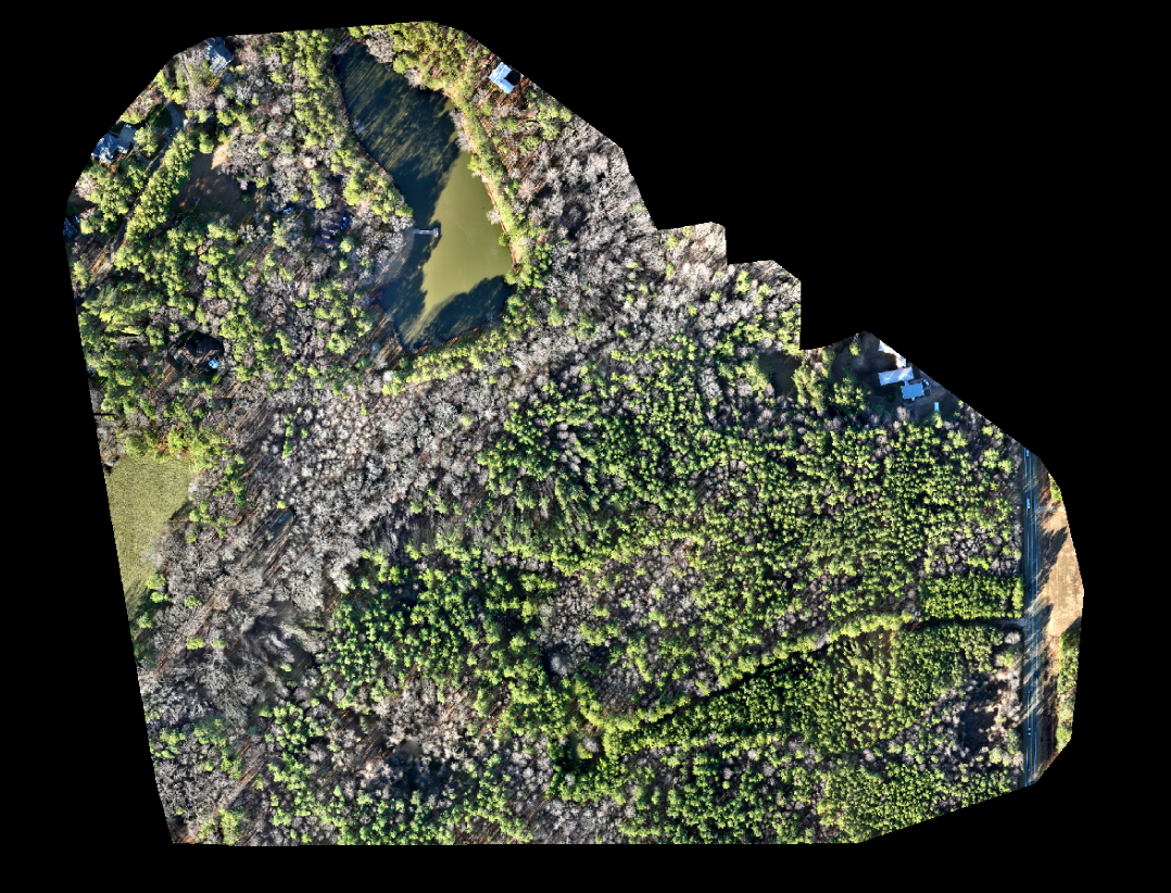
• LiDAR point clouds and digital elevation models for site grading and earthwork planning
• Construction progress monitoring with scheduled flights documenting milestones over time
• Thermal inspections identifying energy loss, moisture intrusion, and equipment anomalies
• Orthomosaic mapping for large-scale site assessment and GIS integration
• High-resolution aerial photography and video for project documentation and stakeholder communication
From downtown Raleigh's urban infill projects to greenfield developments along the region's expanding edges, our services scale to fit your scope. Ready to integrate precision aerial data into your Raleigh project workflow? Contact us at (803) 727-5551.
Results That Keep Research Triangle Projects Moving
Back Forty Aerial Solutions has earned the trust of surveyors and engineering firms by delivering data that meets professional standards without the delays that frustrate project timelines. Our processing workflows convert raw aerial captures into georeferenced outputs compatible with AutoCAD, ArcGIS, and other industry platforms your team already uses.
In a market where Apple, Google, and Microsoft have each committed billion-dollar investments to campus development, the demand for accurate site data continues to grow. We provide the same attention to detail on a five-acre commercial parcel that we bring to multi-hundred-acre infrastructure assessments. Every deliverable is quality-checked before release, and our team remains available to answer technical questions as you incorporate the data into your design and construction processes.
Raleigh's position as North Carolina's capital and the anchor of the Research Triangle means development activity will continue to shape the landscape for years to come. Partner with a drone services provider who understands the precision your projects require. Contact Back Forty Aerial Solutions at (803) 727-5551 to schedule your consultation.
Additional Service We Offer:
Beyond our primary offerings, we provide additional services that help clients gain deeper insights from aerial data. Our professional drone services allow us to capture reliable information and imagery across a variety of industries. Construction progress monitoring keeps teams informed with consistent aerial updates throughout each phase of a project. We also offer professional drone photography and video, thermal imaging inspections, and orthomosaic environmental mapping to support both visual documentation and detailed site analysis.