10
Years in Business
Track Every Phase Without Walking The Site
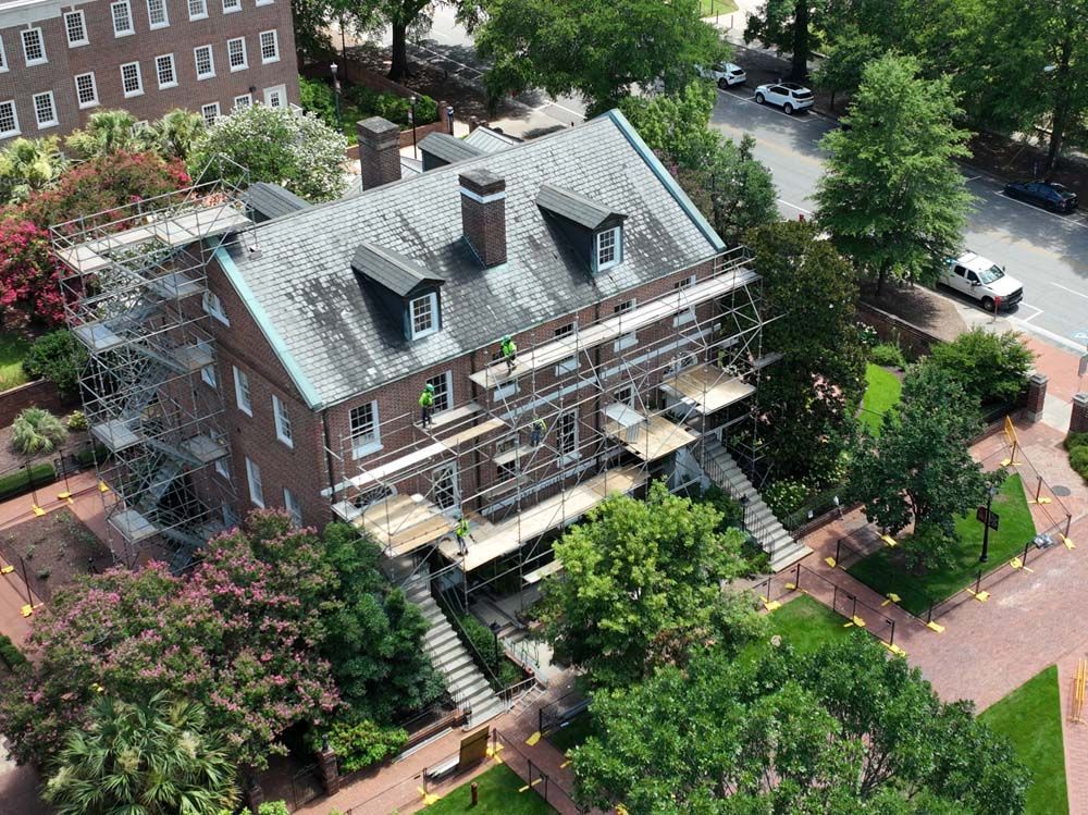
Construction progress monitoring using scheduled drone flights for project documentation in Columbia, South Carolina.
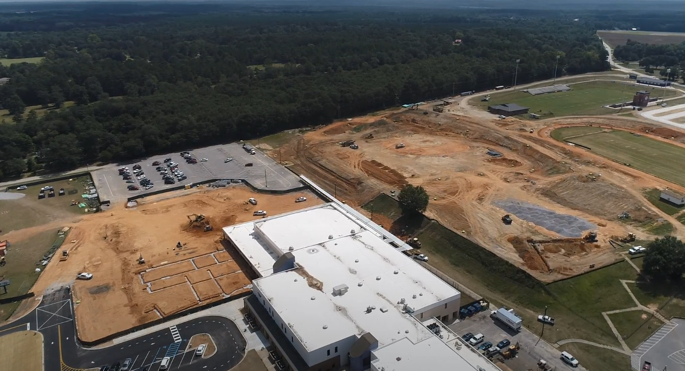
When your construction project in Columbia spans months or multiple phases, consistent visual documentation helps you confirm that work is moving as planned and identify issues before they compound. Scheduled drone flights capture high-resolution images and video from the same flight paths each time, giving you a reliable view of site changes without requiring your team to walk every corner of the property. You see grading progress, material placement, equipment positioning, and completed work segments in a format that supports reporting and coordination across contractors and stakeholders.
Back Forty Aerial Solutions schedules flights at intervals that match your project milestones, whether that means weekly updates during heavy earth-moving or monthly overviews during vertical construction. The visual records you receive allow for time-over-time comparison, so you can track how quickly certain areas are progressing and whether delays are affecting overall timelines. This approach reduces the need for frequent on-site visits while still providing the documentation you need for inspections, client updates, and internal reviews.
If your project in Columbia would benefit from consistent aerial documentation throughout its timeline, reach out to discuss flight schedules and deliverable formats.
How Repeat Flights Keep Your Records Current
Your monitoring service begins with an initial flight that establishes baseline imagery and flight path waypoints. Back Forty Aerial Solutions returns on the schedule you choose, flying the same route each time to ensure that angles, altitude, and coverage remain consistent. In Columbia, this consistency matters when you need to compare site conditions across weeks or months without guessing whether differences are due to actual changes or variations in camera positioning.
After each flight, you receive organized image sets and optional video footage that document the site as it appeared on that date. The files are labeled by date and location, so you can quickly pull up the exact view you need for a progress meeting or dispute resolution. Some clients use the imagery to confirm that subcontractors completed work before releasing payments, while others rely on it to communicate status updates to owners or lenders.
The service is suitable for both long-term developments and shorter projects that move quickly through phases. Flights are scheduled around weather conditions and site activity to avoid capturing unusable data. The monitoring does not include ground-level detail shots or interior work documentation, but it provides a comprehensive overhead view that complements your other record-keeping methods and supports decision-making throughout the build.
Common Concerns About Scheduling and Output
Construction schedules shift, and weather affects flight timing, so it helps to know how the monitoring service adapts and what you can expect from each visit to your site.
Back Forty Aerial Solutions operates all construction monitoring flights in compliance with FAA regulations and maintains current insurance for commercial operations in Columbia. If your project would benefit from scheduled aerial documentation that tracks site changes over time, contact us to set up a flight plan that fits your timeline and reporting needs.