10
Years in Business
Precision Data That Changes Your Site Plan
LiDAR mapping and digital twin services for engineering and development projects in Columbia, South Carolina.
When your project in Columbia demands precision, LiDAR data capture delivers high-accuracy elevation and surface models that support informed decisions. You receive detailed point clouds that map every contour, slope, and feature across your site, whether you are planning a commercial build, evaluating drainage pathways, or preparing civil engineering documents. Columbia sites with dense vegetation or complex terrain benefit especially from the ability to capture accurate measurements without extensive ground-based fieldwork.
Back Forty Aerial Solutions uses LiDAR technology to generate georeferenced data sets that integrate directly into your existing design and analysis software. Digital twins created from this data allow you to visualize your site in three dimensions, test scenarios, and communicate plans with stakeholders before breaking ground. The service scales to fit both compact parcels and expansive development areas, making it a practical alternative.
If your project in Columbia requires reliable elevation data or a digital model for planning, reach out to discuss how LiDAR mapping fits your timeline and scope.
How Data Capture Translates Into Usable Maps
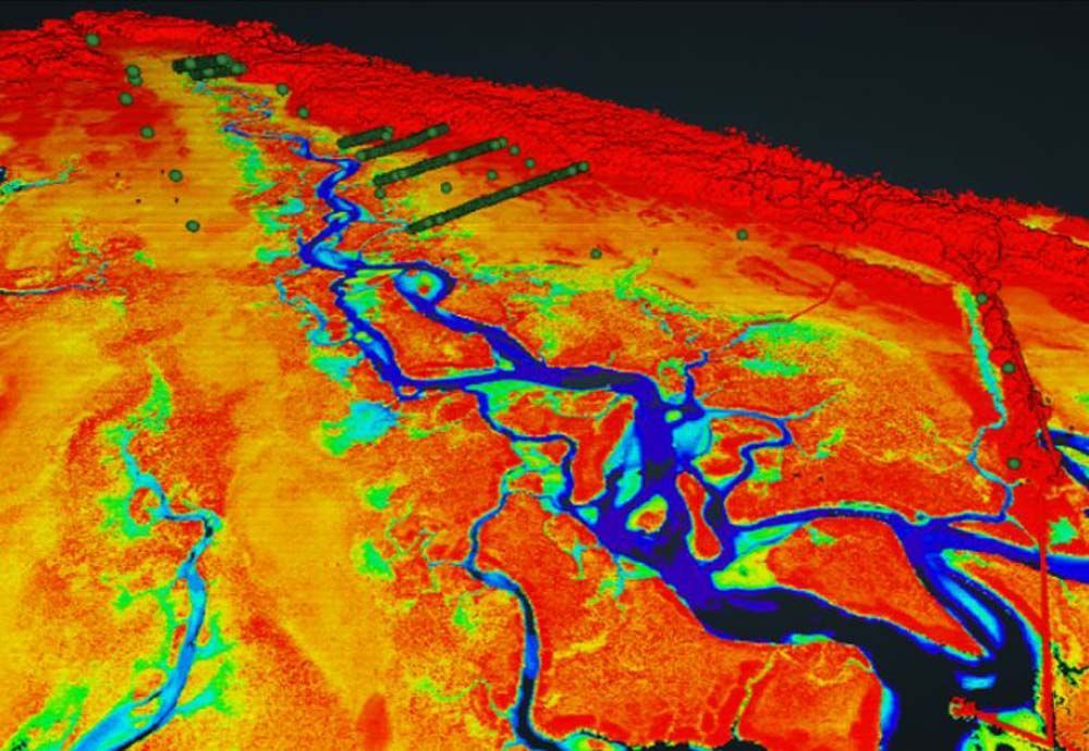
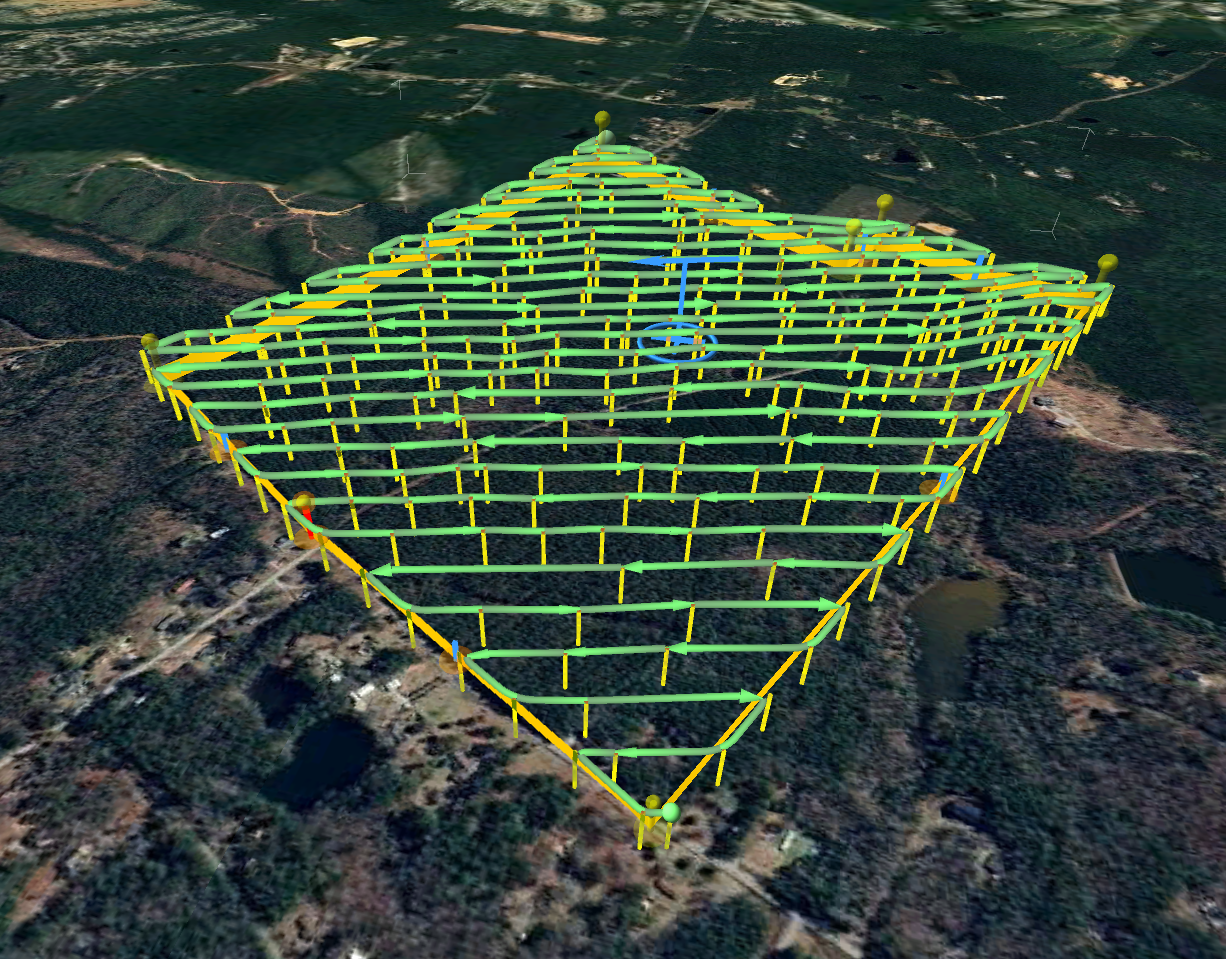
Your LiDAR project begins with a flight plan tailored to your site boundaries and the level of detail you need. Back Forty Aerial Solutions conducts the aerial data collection using calibrated sensors that emit laser pulses and measure their return time, building a precise representation of the ground surface and any structures or vegetation present. In Columbia, this process works efficiently even when tree cover or uneven topography would slow down manual measurement efforts.
After the flight, you receive processed point cloud files and derived products such as digital elevation models or contour maps. These outputs show you exactly where water will flow, where grading is needed, and how existing features relate spatially to your proposed design. The data supports volume calculations, cut-and-fill analysis, and regulatory submissions without requiring repeat site visits.
Digital twin models built from the LiDAR data let you rotate, measure, and annotate the site in a virtual environment. The workflow integrates with common engineering platforms, so your team can import the data directly and begin design work. The service does not include post-construction monitoring or ongoing updates unless arranged separately, but it provides a foundation that remains accurate throughout your project lifecycle.
Questions About Data Accuracy and Delivery
LiDAR services involve specialized equipment and technical outputs, so it helps to understand what you will receive and how the data supports your work before scheduling a flight.
When is aerial lidar a better choice than field surveying?
LiDAR works well when you need to cover large areas quickly, when terrain or vegetation limits ground access, or when you require dense surface data for modeling rather than sparse ground survey points. It complements traditional methods rather than replacing them entirely.
Back Forty Aerial Solutions operates FAA-compliant flights and maintains current insurance for all LiDAR and mapping work in Columbia. If your project requires precise surface data or a digital site model to support engineering decisions, contact us to review your site requirements and delivery timeline.